
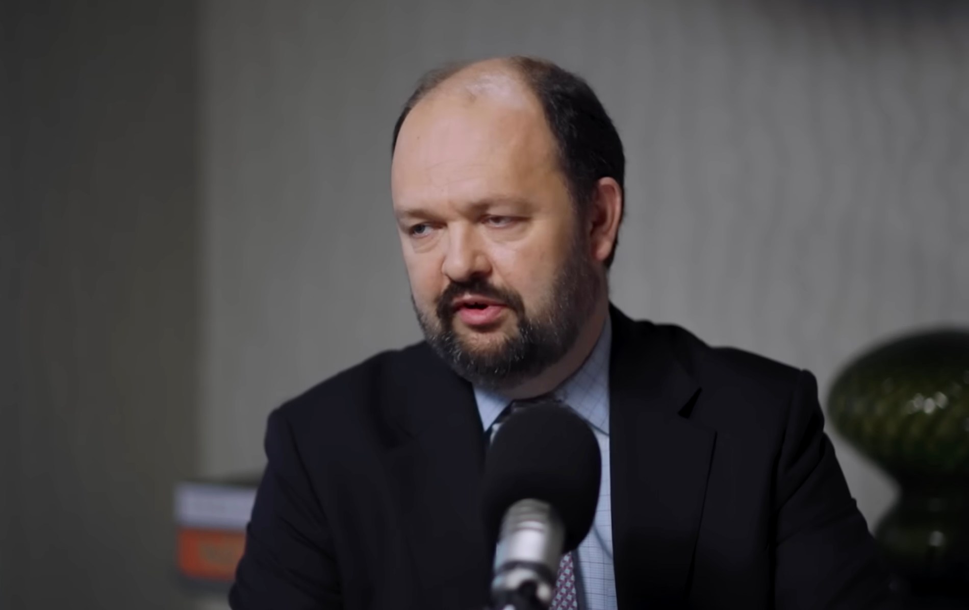
Ross Douthat has a fantasy novel for young-adult readers: The Falcon's Children, the first in what reportedly will be a trilogy from the respectability-conservatism peddler, who left his sinecure as a columnist at the New York Times earlier this year so that he could lower television's aggregate charisma level by 944 percent as a correspondent for Bari Weiss's 60 Minutes. That is virtually all I will ever know about The Falcon's Children, and I beseech you, tender reader, to follow my example. I am here today to talk about fantasy maps.
Here, via Douthat's Substack (where he first published at least some of the text of The Falcon's Children), is the hand-drawn map of his fantasy world:
This is a dogshit fantasy map. To understand why, one must, well, look at it. But I do not get paid to keep the word counts short around here, and so I will now expound upon this map's shittiness.
What is a good reason for a novel to have a map? At first pass you might want to say something like To help the reader know where things are happening in the story, but that is a bad reason for any novel to have a map. After all, even the most England-ignorant reader alive (me) does not need a map of Victorian London to enjoy reading Dan Simmons's Drood. Even novels centered around travel: No one, American or otherwise, needs a map of the continental United States in order to follow along and enjoy reading Stephen King's The Stand, a book which begins with its characters scattered all over the nation, slowly draws them together in a couple of different cities, and then splits some of them up again. It's fine. There is no map in Cormac McCarthy's The Road; in fact, the narrative itself is vague to the point of opacity about where exactly in the blasted ashen United States any of it takes place. The cities and roads and rivers go unnamed. One can choose to infer from the description of the hellscape that the story may take place in the eastern or perhaps southeastern United States, but it makes no difference.
For that matter, many readers skip and ignore the maps in fantasy novels that do have them, and enjoy those books no less than readers who refer back to the map at every mention of a place in the world. This is because ultimately it is not all that important, in a well-told and engrossing story, for the reader to know exactly where the story's locations are in geographical relation to one another. Cues in the text can keep them sufficiently oriented, to the extent they even care all that much, which they may not.
No, the good reason to have a map in a fantasy novel is so that it can be cool and interesting all on its own. Consider the maps of Middle-Earth that J.R.R. Tolkien included in The Hobbit and more expansively in The Lord of the Rings. Before you have read a page of either of these stories you can look at the map and be excited by it. The vast spine of the Misty Mountains, effectively dividing the story world in two, with places with safe names like "The Shire" and "The Last Homely House" to the west and places with spooky names like "The Lonely Mountain" and "Mirkwood" and "The Dead Marshes" to the east. The gap of Rohan at the southern end of those mountains, implicitly a place where travelers would try to avoid having to cross the range: Oooh, I bet lots of stuff happens there. Mordor, with its geologically unlikely but spooky square fence of mountain ranges, suggesting a place shaped by malign will.
Tolkien did not start with the idea, What is a normal way for a place to look? He made a map of a cool and interesting place that suited the story's needs. The map in fact tells a story: the sheltered and domestic West, protected by those mountains from the wild and dangerous East. Even a sharp little kid, looking at this map before they have begun reading the story, will pick up on the idea, even if only unconsciously, that the adventure will have to traverse that great divide, and characters from the West will be tested and changed by what they experience on the far side of it. I know this is true: In the third grade I read The Hobbit, with its smaller version of the map that centers the Misty Mountains, and it primed me for the story to come.
Consider the maps George R. R. Martin includes in his A Song of Ice and Fire novels. The continent of Westeros is rendered in detail, the continent of Essos largely blank. The Wall stretches across nearly the breadth of Westeros at a narrow northern point, between Shadow Tower and Eastwatch-by-the-Sea. Ooooh, why do they need a Wall there? A river, extremely improbably, lances across the continent's midriff in a straight line at a place called The Neck, like an aquatic Wall; city and town names are far sparser to the north of it than to the south.
A pattern flows over this place. This is not just a map. It is suggestive. It tells a story of a place that gets wilder and more mysterious as you travel north.
The map of the world of Christopher Buehlman's The Blacktongue Thief and its prequel, The Daughters' War, is different, in that it is basically just Europe, but with the countries shuffled a bit geographically. (No points for guessing that "Ispanthia," which protrudes laterally from its continent as a southern extremity is Spain, or that its neighbor, "Gallardia" is France.) Buehlman is not trying to hide or obscure his world's inspirations; he is just granting that world enough distance from ours to free it from the constraints of our reality. You do not need to try to figure out in what century of our history Spaniards had the ability to store a gigantic bird inside of a tattoo on a living person's body in order to avoid cognitive dissonance while reading either of those books. But you are empowered to draw from your impressions of Spanish culture to fill out the margins of your exposure to Ispanthia. That's good mappin'.
Guy Gavriel Kay is even more explicit about this. His fantasy maps are just Europe, period, but with the names changed and the details futzed with. The map functions as a set of cultural cues.
Now consider Ross Douthat's map. For one thing it is disgracefully unoriginal. To begin with the place is called the Narsil Empire, "Narsil" being the name of the fabled sword that performed perhaps the second-most important action in the history of Middle-Earth in the story of The Lord of the Rings when it cut the One Ring from the hand of the Dark Lord Sauron. I suppose that is not really a complaint about the map. It's more of a complaint about Ross Douthat being a hack.
Oh wow, your fantasy world has a great mountain range in the middle, and a vast forest directly to the east? Hm. Would this forest by any chance have a name startlingly similar to "Mirkwood"? Why yes: It is "The Mistwood." Is the north a wild and mysterious place where civilized people fear to tread? Why, yes it is: In fact it is "The Wild North." Oh, except for over in those two places where it is "Unmapped North."
Douthat is also just kind of a dumb guy, and it shows up in things like his big central mountain range ("The Guardians," so far as I can tell the only part of his world named after a Cleveland pro sports team) being a shapeless blob, rather than a range spanning nearly the entire continent. How effectively do these mountains guard anything? You can just go around them. You could even row upstream on the river to the immediate south. The one that goes through Bluehaven, Greenhaven, and, um ... Darkhaven.
When you name a place "Darkhaven," the library cop from Seinfeld should pop out from behind the nearest door and knock you the fuck out with a right cross. Here is a hint, Ross: If there is a place that is dark and spooky, the people who do the town naming in a universe not otherwise characterized by Discworldian silliness will not put the word "haven" in its name, now matter how cutely that might seem to set it off against the Bluehaven and Greenhaven conveniently lined up right next to it along the river. They will not want to associate it with the haven-like places. "Darkhaven," in addition to being a simple and obvious contradiction, is how an author thinks about the names of things. It is not how people who live in a world think about the names of things. They would call it "Mordor" or "Badtown" or "Don'tgothereville" or "That Place Where No One Lives Due To It Being Evil."
Back to the mountains. Possibly the Guardians cannot easily be bypassed within the actual narrative of The Falcon's Children. Maybe the passage to the south is fraught with peril! Maybe Darkhaven isn't as pleasant a place as the name "Darkhaven" makes it sound. This possibility illustrates the feebleness of Douthat's map. Your eyes tell you that Tolkien's Gap of Rohan would be a crucial and perhaps dangerous place: It is a narrow passable bottleneck at the southern end of a mountain range that otherwise basically divides the known world in half. Douthat's Guardians, by contrast, are just a big dumb shapeless blob of mountains, with nothing in particular to the north or south on the map. There is no reason why the people who live in this world call them The Guardians, rather than The Dumbest Way To Travel East-West In That Part Of Our World.
I am getting bogged down in the details. Pull back and observe Douthat's map more generally. There is no sense of place in it; its shape and features offer no suggestions about the societies they may have given rise to. There are no intriguing geographic or geological details that make you want to read on to see what goes on there. It tells no story. It is not the least bit interesting on its own. It is just a companion to a travel narrative.
A fantasy world built like this one would never be worth traveling to or across in the first place. I pity the falcon's children, whoever they are, trapped in Ross Douthat's imagination.