
California's Central Valley is a 400-mile long expanse, penned in by the Sierra Nevadas to the East and the Coast Ranges to the west. The flatland is composed of remarkably fertile soil, as both mountain ranges erode into and drain out through the valley via the San Francisco Bay. Before the bay was formed roughly 600,000 years ago, geological evidence suggests there was a Lake Michigan-sized inland body of water (referred to as Lake Corcoran in the literature) spanning most of the valley. While the region's paleolacustrine situation is not directly relevant to the present-day weather situation, both are products of Northern California's remarkable topography. Also, the present-day fog is essentially an aerosolized lake, Corcoran reborn in the sky. NASA published satellite images showing the persistence of the phenomenon. This is the tule fog, and it has trapped the Central Valley in a moist, misty prison for nearly a month.
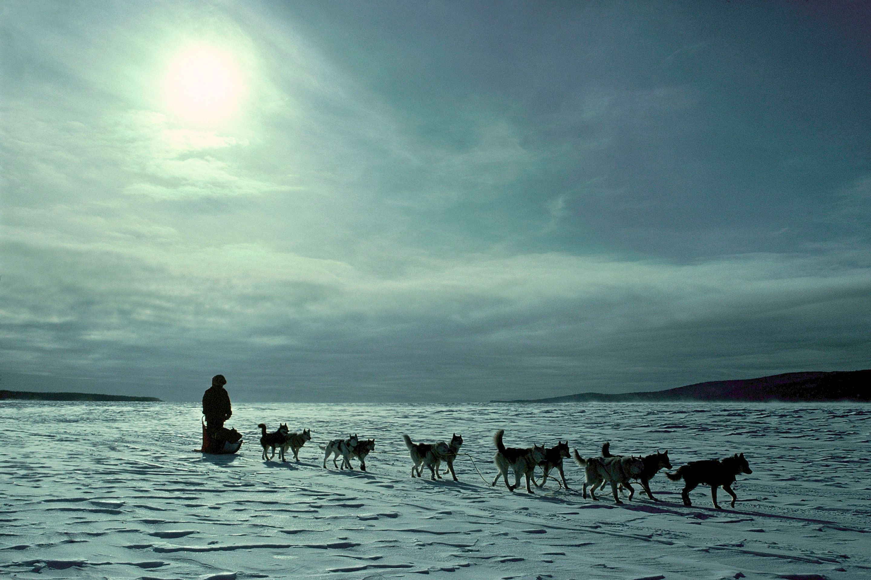
The tule fog has caught a lot of attention over the past few days because of how it looks from space, and also how obscurant it is on the ground. People in Sacramento, Fresno, and Stockton have been held down under a cold, wet mist every day since Nov. 21. Growing up in Sacramento, I remember plenty of times when it was too foggy to drive. We lived by the Sacramento River, which meant it was as dense there as it was anywhere. You could hardly see your hand in front of your face. The tule fog is far thicker and more persistent this year. "It has been two weeks since I have seen the sun here in Sacramento," local resident Dave Redford* said. "The fog seems to get heavier each day and seeps deeper into my mind. I get excited when a breeze comes by and moves the leaves in the backyard even a little. Then it stops and it’s back to the still and stifling grayness. The only sign of hope is in the weather forecast."
*Disclosure: Dad.
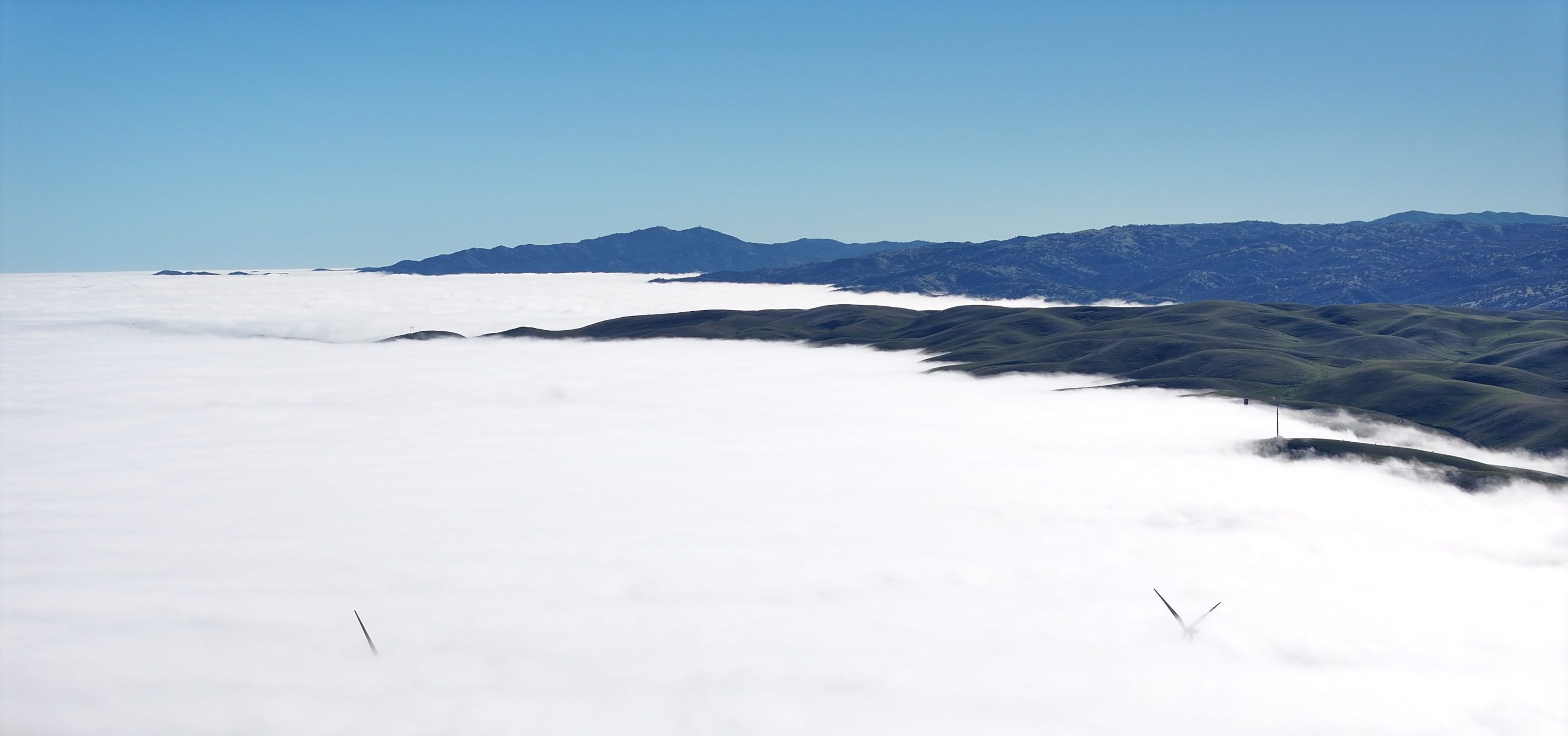
So what's going on here? Northern California experienced a rather wet autumn followed by a bone-dry early winter, perfect fog conditions. The valley was inundated early, only for a stable high-pressure system to move into town in late November. The former meant that there was plenty of water to turn into fog, while the latter meant that fog would stay trapped at lower altitudes. Since there is no snow and the high-pressure system is composed of warm air from the mid-Pacific, temperatures are significantly warmer at higher altitudes (the visualization here is amazing), a phenomenon known as temperature inversion. Every night, dry air cools and descends, reinforcing the temperature and moisture disparities by keeping valley air below the dew point. And as we all know, air below the dew point condenses, often into fog.
Drive into the Central Valley from the higher elevations on either side, and you will clearly see the tule fog from above before you enter it. The effect is striking:
The fog only persists because no new storm systems have moved in to displace the high-pressure system that has been chilling, though that will mercifully end soon—rainy weather is predicted for later this week. The tule fog—or alternately, the ancient evil that lurks within—will dissipate, for a while anyway, until it stops raining again and the fog creeps back up from the ground.